

Forest Primeval, Landscape Suburban: Springfield Trail Hidden in Plain Sight

The Springfield Trail takes walkers through woods and along suburban streets. Photo: Ben Yagoda
IMPORTANT NOTICE: By reading the following [THE ARTICLE], you [THE READER] agree to indemnify us [THE AUTHOR, THE SWARTHMOREAN] against all claims stemming from getting lost, getting muddy, taking the wrong trail, etc.
One morning not long ago, I parked my car less than half a mile from Swarthmore town limits and embarked on a wooded loop hike of about five and a half miles. I crossed countless brooks and encountered four humans and 16 bird species. The route was the Springfield Trail, a rare mix of the forest primeval and the landscape suburban.
I had first become aware of the trail in the spring. Shut out of the gym by the coronavirus, my wife Gigi and I had taken to walking in Delaware County’s Smedley Park, an underappreciated nearby resource just west of the Springfield Mall. There are lots of hiking trails through the Smedley woods, and one day, having gotten a little lost, I checked a hiking app I have on my phone called AllTrails. The app informed me that I was on the Springfield Trail.
Back home, I did some research. An AllTrails map showed the Springfield Trail heading east from Smedley all the way past Sproul Road (Route 320), winding north a ways, crossing Sproul again, then reentering woods and heading back to Smedley. User ratings averaged four stars (out of five) and comments were generally favorable, though sprinkled in were a few along these lines: “This trail is lovely and well marked at times, but there’s many instances where it’s untraceable. We got to one point where we literally couldn’t find it and had to find a new route back to the parking lot. Really ruined the day.”
I researched some more. (It’s what I do). I found both a Springfield Trail Facebook site and a web page on the trail published by the Friends of Smedley Park, which also links to a better map than the AllTrails version. It also gives some history of the trail:
In 1964, a small group organized as the Springfield Trail Club with a goal of connecting hikers to explore local, regional, and international trails together and inspiring people to embrace the outdoors. It appears that the idea may have blossomed in 1967, but, in 1969, the club blazed the Springfield Trail. Its course has changed a little over the years, due to erosion, fallen trees, and progressive trail routing practices, but efforts have been taken to protect the vision of the club and maintain the trail as it was originally blazed.
After a few emails, texts, and phone calls, I learned that the “efforts have been taken” passive voice in the last sentence is unduly humble. In fact, the resurrection of the trail is pretty much due to the work of one man, Springfield resident Jason Thompson, who came upon some downed trees with painted blazes on them while exploring in the woods near his backyard about 15 years ago. Jason, who earns his living doing various jobs in the first-responder field, gradually brought the trail back to life, with the occasional assistance of personnel and equipment from Springfield Township.
The Trail officially reopened in 2018, and since then, Jason and a hardy crew of about 25 volunteers, some from the mountain biking and scouting communities, have handled the required trail-blazing, bridge-building, and tree-cutting and -hauling. He’s modest about what he’s done, but when we spoke via Facebook Live, Jason did allow that the trail’s location smack dab in the suburbs, winding through land owned by the township, the county, and private entities (including Golf View Estates, Swarthmore College, and the New Destiny Christian Center), is “one of a kind.”

Springfield Trail map
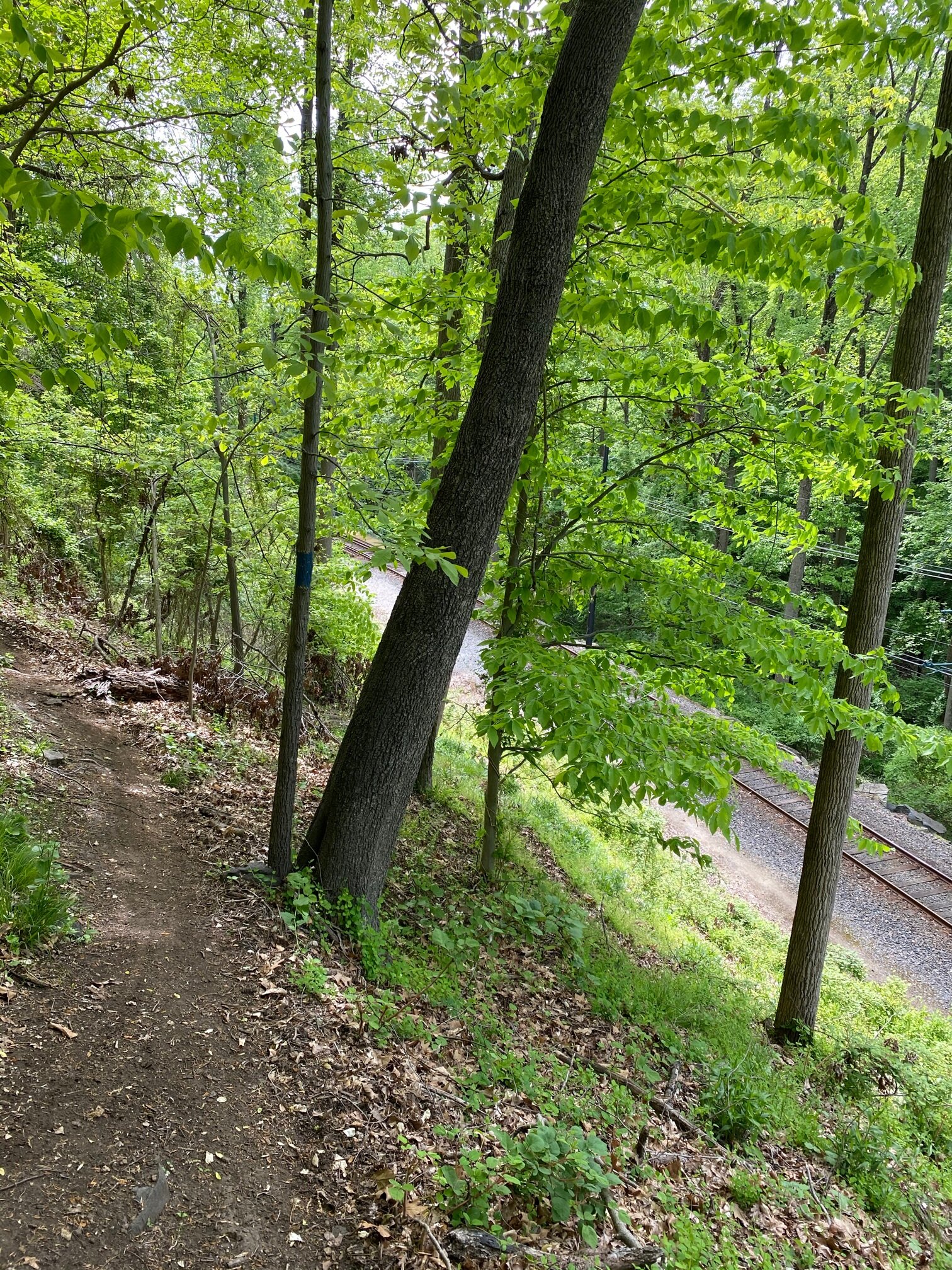
Over the course of a few weeks, Gigi and I walked the entire trail, in pieces. We quickly came to think of it as our personal gem. Even the fact that the Blue Route, the Baltimore Pike, and the SEPTA 101 trolley line would periodically come within eye- or ear-shot, didn’t detract, but rather added special suburban flavor. Likewise the need to walk along streets for a couple of stretches. The Smedley Park portion of the trail is fairly well traveled on weekends, but the only people we ever saw east of Sproul Road were a few families.
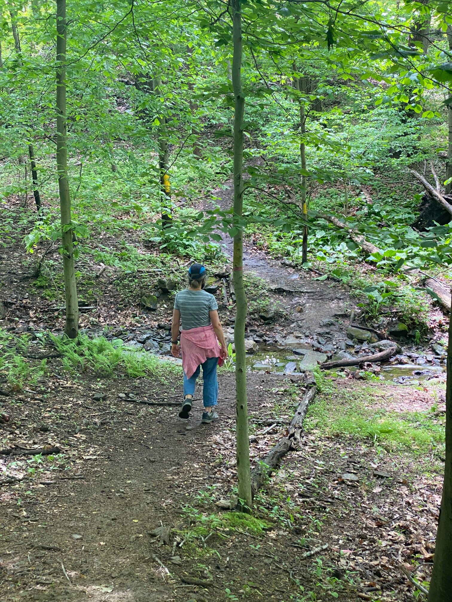
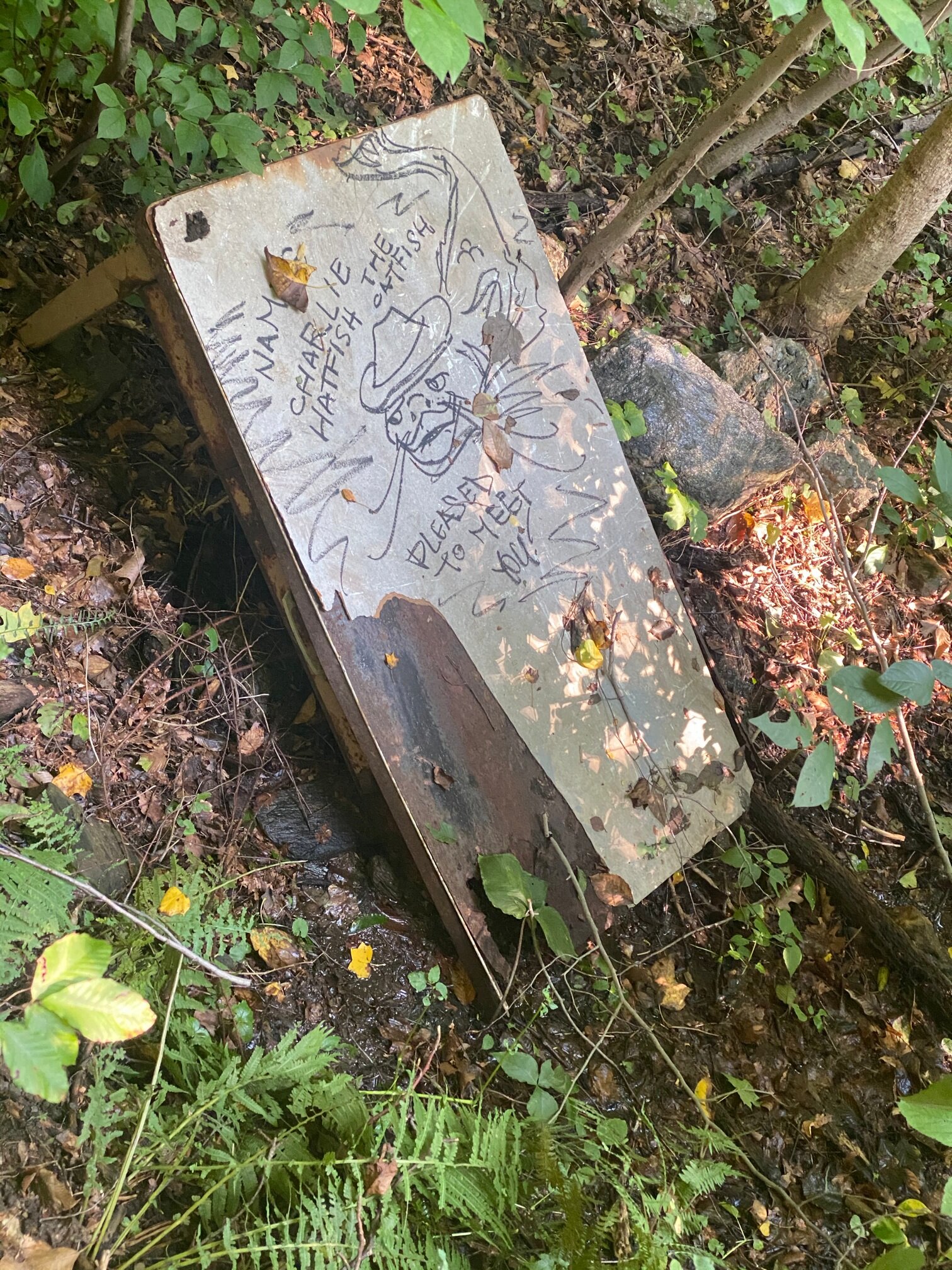
Until we realized we needed to always look for the yellow blazes, we got lost a few times. The markings are usually on trees, but sometimes they’re on the sidewalks and other landmarks. If we hadn’t seen a blaze for more than a couple of minutes, we learned, we should probably backtrack.
Note that if 5.5 miles sounds too long, the trail can rewardingly be done in such modular portions. You can also make it longer by tacking on the Leiper-Smedley Trail along the Blue Route, noodling around on some of the many trails in Smedley, or heading west from Smedley on a 1-mile loop to the Pine Ridge trolley stop.
We finally walked the whole enchilada on a warm summer Friday, accompanied by our friend Bruce Beans. There are three good options for parking: the Smedley Park far lot, the near lot, and the Springfield Mall lot, way behind Target near the trolley stop. We chose the last and decided to go clockwise. (Counter-clockwise works too, but it seems to be harder to stay on the trail in the Smedley section.)
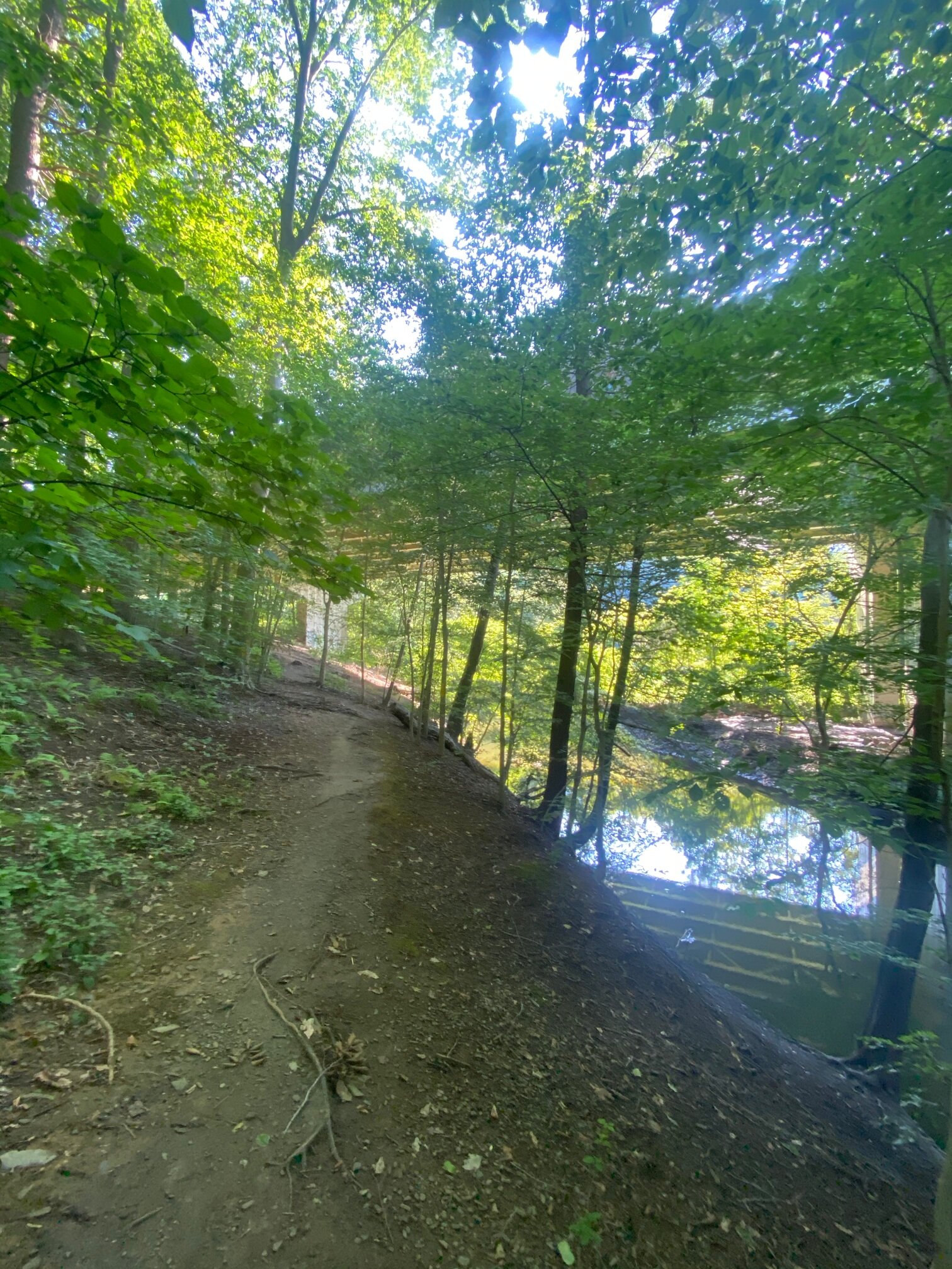
We climbed the stairs from the trolley stop to Sproul Road, walked north on the sidewalk a couple of hundred feet or so, then entered the woods on the left at the yellow blazes. Visually, we immediately felt transported from suburbia to a peaceful forest. Aurally, it took a couple of minutes for the traffic from Route 320 to fade away to the sound of birds chirping and the Whisky Run stream burbling. We walked for a bit less than a mile, the mall parking lot on our left, Golf View Estates on our right.


Bruce, a birder and general student of nature, later sent a list of the species we saw and (mostly) heard over the course of the hike: rock pigeon, mourning dove, American robin, catbird, song sparrow, red-bellied woodpecker, yellow-shafted northern flicker, northern cardinal, American crow, fish crow, American goldfinch, Carolina wren, Carolina chickadee, and three species he deemed “noteworthy”: wood thrush, red-eyed vireo, and the rarest find, the pileated woodpecker.
Bruce said he was also “struck by some of the large oaks, really massive tulip poplar trees, and impressive beech trees.”
Eventually we crossed Paper Mill Road at the trolley stop, entered Smedley Park, and made our way through a playground (yellow blazes on the swing set), which is the site of the original paper mill that gives the road its name. Back in the woods, the yellow blazes quickly returned us to Paper Mill Road and what I think of as the “far” parking lot. At this point, the trail is a little tricky to find. Remember that Crum Creek will be on your left. And to look for the yellow blazes.
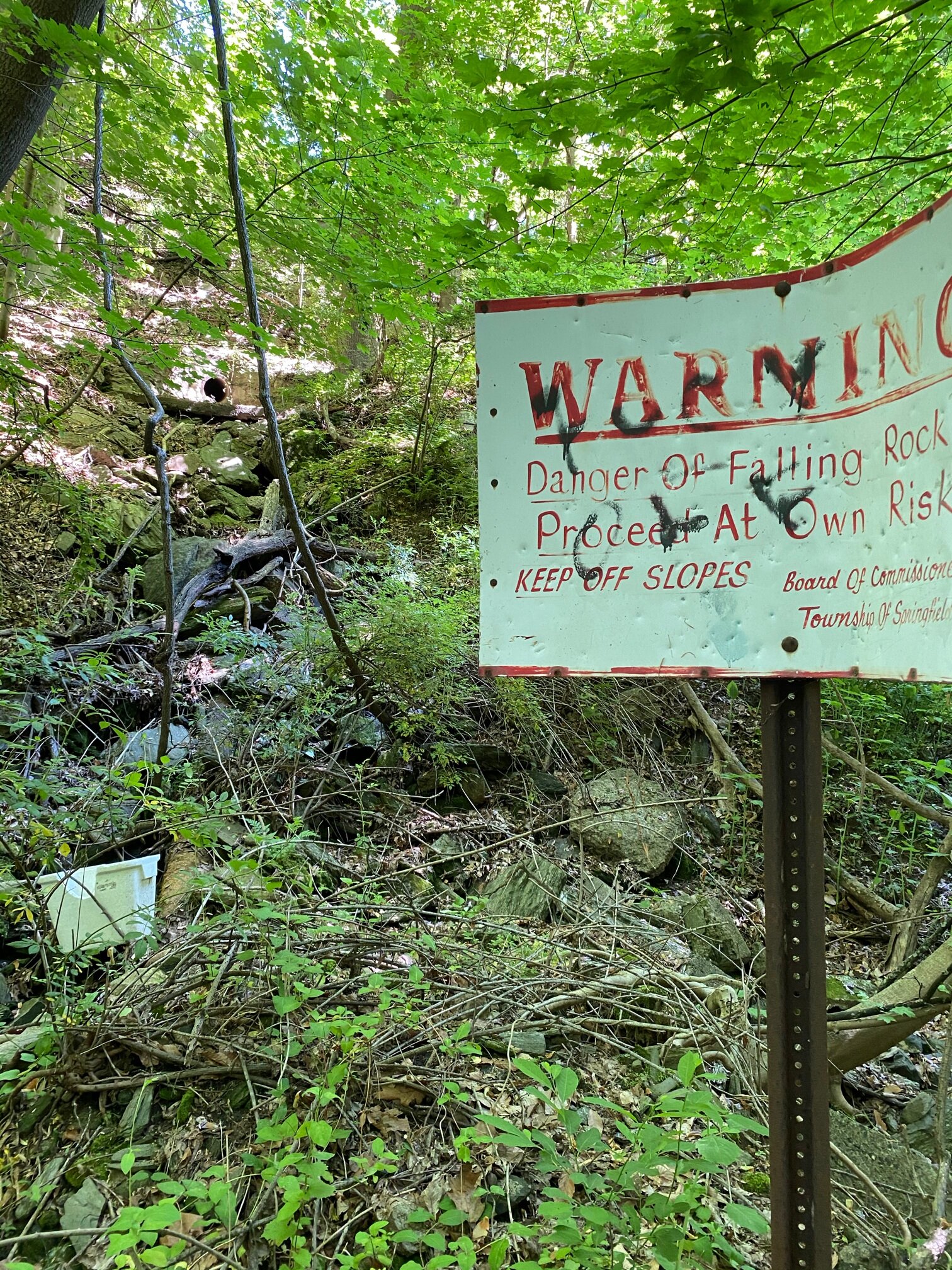
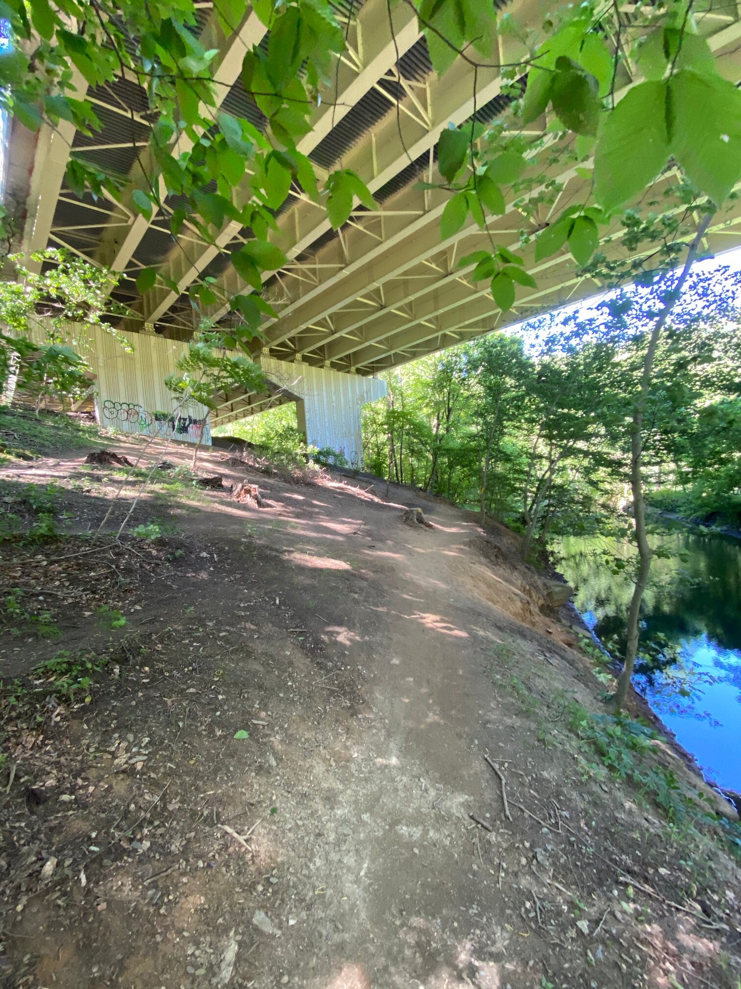
After that comes the longest stretch in the woods, which involves about two miles of walking, a bit of moderate climbing, two passages under the Blue Route, and at least five stream crossings. (Note that the trail here can be quite muddy, especially after a rain). We emerged at the New Destiny Christian Church on Sproul Road.
Leaving the church, we embarked on the first of two sections where you have to walk on the streets of Springfield. We turned left on Sproul Road, quickly followed by a right on West Woodland Avenue (just south of the Giant), and then a right on James Road at Kovacs Funeral Home. The yellow blazes told us where to enter the woods on our left. That put us in another capacious wooded section. Here, for reasons even Jason Thompson doesn’t know, the blazes are sometimes blue rather than yellow. Eventually we emerged at Lewis Road for the second of the street sections. A final stretch along the trolley tracks took us back to our starting point.
It had been a lovely day for a hike, warm enough to break a satisfying sweat but not too hot. The only people we encountered were a mother and three little kids who had come in from the E. T. Richardson elementary school. Going at a steady pace and stopping for a five-minute water break at the New Destiny church, it took us two hours and 45 minutes. Your mileage may differ.

